





Skip to content
Advertisement
www.nomascom.kz upper
Tribuna.kz

World

Japan to release satellite images of areas hit by heavy rain in Chiba Prefecture

High-resolution images covering a wide area will be released in stages through the Geospatial Information Center website.

Japan’s National Intelligence Agency has used reconnaissance satellites to gather information on recurring heavy rain in Chiba Prefecture. It will publish processed images, with high-resolution versions to follow in stages.

Author: Робот Source: Cabinet Secretariat of Japan

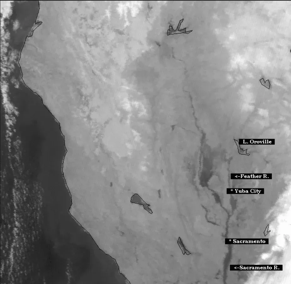
Satellite image showing areas in Chiba Prefecture affected by heavy rain
Processed satellite images of areas affected by heavy rain in Chiba Prefecture. Illustrative photo. Photo: NOAA / Wikimedia Commons, Public domain

Japan’s National Intelligence Agency has been gathering information with reconnaissance satellites on heavy rain and flooding in Chiba Prefecture, where incidents have occurred intermittently since August.

The agency said it would release processed satellite images under its policy for publishing such material during major disasters.

Because of their file size, high-resolution images covering a wide area and intended to assist disaster-response personnel will be posted in stages on the Geospatial Information Center website. They will be available in GeoTIFF and JPEG formats.


Advertisement
www.toishy.com

The National Intelligence Agency said it would continue gathering the necessary information.

Translated from Japanese using artificial intelligence. Source: Cabinet Secretariat of Japan

Countries:

Read also

Advertisement
Nomascom banner footer