




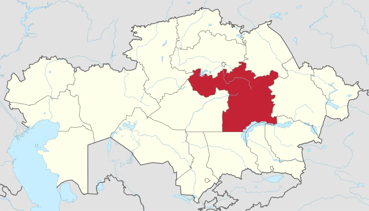
Planning trips around Kazakhstan’s Karaganda Region is set to become easier, with 2GIS adding more information on attractions, tourist routes and recreation areas. Visit Karaganda and 2GIS signed a memorandum of cooperation to support the work.
The partners plan to update information about tourist sites and add new routes to the map. They will focus on Karkaraly, Balkhash and other popular destinations, helping travellers find places to visit, plan routes and navigate the region independently.
Bakhtiyar Bekmurzayev, director of the Visit Karaganda tourist information centre, said many of the region’s scenic locations are still underrepresented on digital maps. He said it can be difficult for visitors to reach Buiratau and Karkaraly national parks, the Kyzylrai Mountains and Mount Aksoran, the region’s highest point, without assistance.